ALL NEW FOUNDATIONAL INTELLIGENCE MODEL (FICE) - Get your Insights Report Here
Alex Luna • November 25th, 2020.
We’re bringing you exclusive content from our newsletter, The Forecast, right here on Medium. Sign up for our newsletter here. This story is from our feature called the Weather Corner, where we take a deep dive into weird weather around the world, from our November 25th, 2020, newsletter.
Last edition, we discussed Hurricane Eta — the hurricane that tied the record for the most named storms in the Atlantic in one year, of 28, previously set in 2005. (Since then, Hurricane Iota has hit, making this season officially the worst on record.)
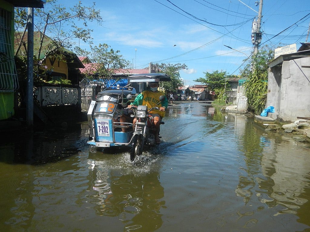
But the Pacific Ocean hasn’t been spared, either. At the beginning of November, Super Typhoon Goni blasted into the Philippines. The damage is still being surveyed, but the government estimated that the storm displaced more than 350,000 people and killed at least 20. Then, it weakened slightly but continued on its path to Vietnam with heavy rains.
What made Goni so destructive — like Eta and several of the other hurricanes this year — was that it experienced rapid intensification. That’s a process where warm ocean waters enable storm winds to pick up to incredibly high speeds just before landfall.
Goni’s wind speeds nearly doubled when the storm traveled over a patch of warmer-than-usual ocean water in the Pacific (about 87 degrees F — that’s 3 degrees F above average). The storm’s wind quickly reached speeds over 200 mph.
As we wrote last week, rapid intensification has always happened in some storms, the difference is now it’s happening much more frequently:
Global warming has increased average air temperatures. Much of this heat is then absorbed by our oceans. Tropical cyclones develop and travel over oceans, picking up moisture as they do. Warmer tropical water provides more energy for hurricanes while warmer air can hold more moisture, leading to stronger, more intense storms.

More extreme storms can cause serious, often long-term damage to farmers in these areas. An initial government assessment put the agricultural damage at more than $35 million nationally. About 20,000 farmers were affected, who mostly grow crops such as rice and corn. As we’ve mentioned in the past, recovery from such an event can take years when farmers’ fields and infrastructure are damaged or washed away. According to the government, there was an additional $115 million of damages to the country’s infrastructure.
A newly published paper in Nature explains why climate-changed hurricanes cause so much damage: they are “decaying” slower. In the past, most of hurricanes’ intensity and thus the damage they caused was concentrated on coastlines. Specifically, in the late 1960s, a typical hurricane lost about 75% of its intensity one day after landfall.
But in a warmer world, hurricanes contain more moisture. That means they last longer and cause more damage on their path inland. Now, hurricanes only lose about 50% of their intensity one day after landfall.
Have any more questions about global weather events, their impact, and how they’re linked to climate change? Send them to media@climate.ai — we will choose one to answer in the next newsletter.